
EN
Beijing ZEHO Waterfront Ecological Environment Treatment Co., Ltd. (Stock Abbreviation: ZEHO ECO; Stock Code: 605069) was founded in 1997. Positioned as an Ecological Water Conservancy Technology Operator, the Company is a National High-tech Enterprise, an Enterprise Technology Center of Beijing, and a Specialized, Refined, Characteristic and Innovative Enterprise. The Company focuses on three major businesses: ecological water conservancy infrastructure, intelligent technology, as well as cultural tourism and health wellness. It provides clients with full-life-cycle services integrating technology, planning, design, construction and operation.
Learn more >
ZEHO ECO adheres to the internationally leading 7+1 Symbiotic City sustainable development framework and the NbS (Nature-based Solutions) methodology as its core principles, providing clients with "technology + design + construction + operation + commerce" full lifecycle services. As a National High-Tech Enterprise and Beijing Municipal Enterprise Technology Center, we consistently drive market growth through technological innovation. Leveraging our national-level laboratory platform, we continue to increase R&D investment, establishing an industry-leading technological innovation system.
Learn more >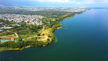
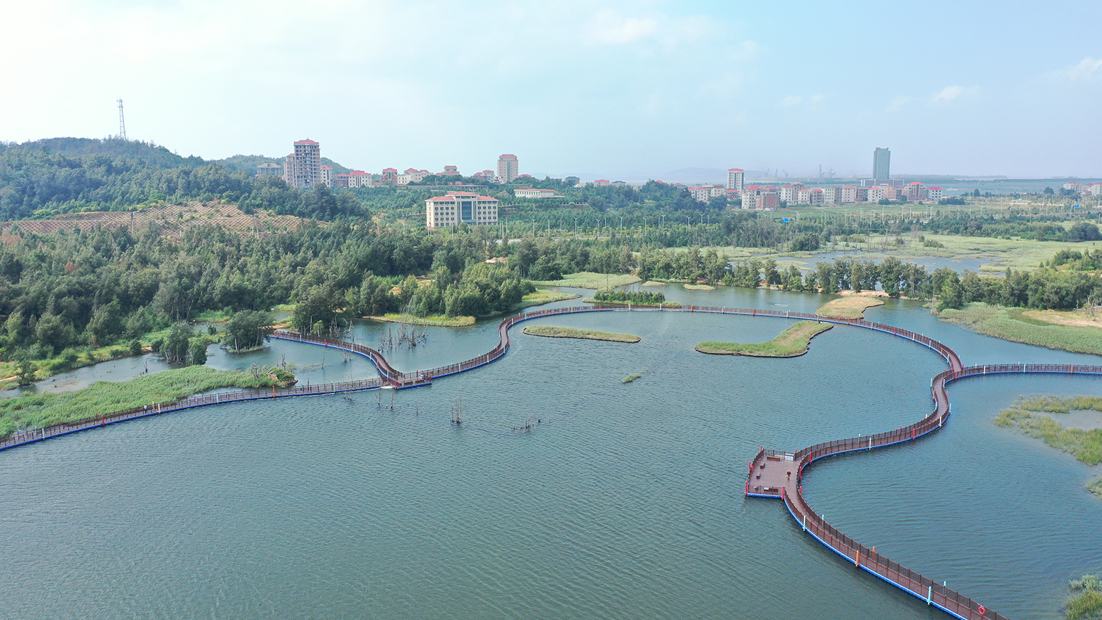
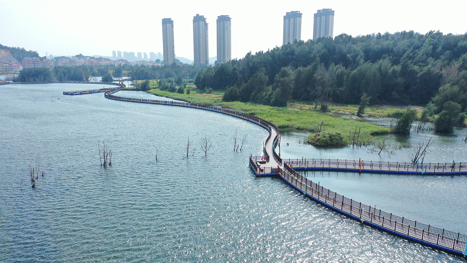
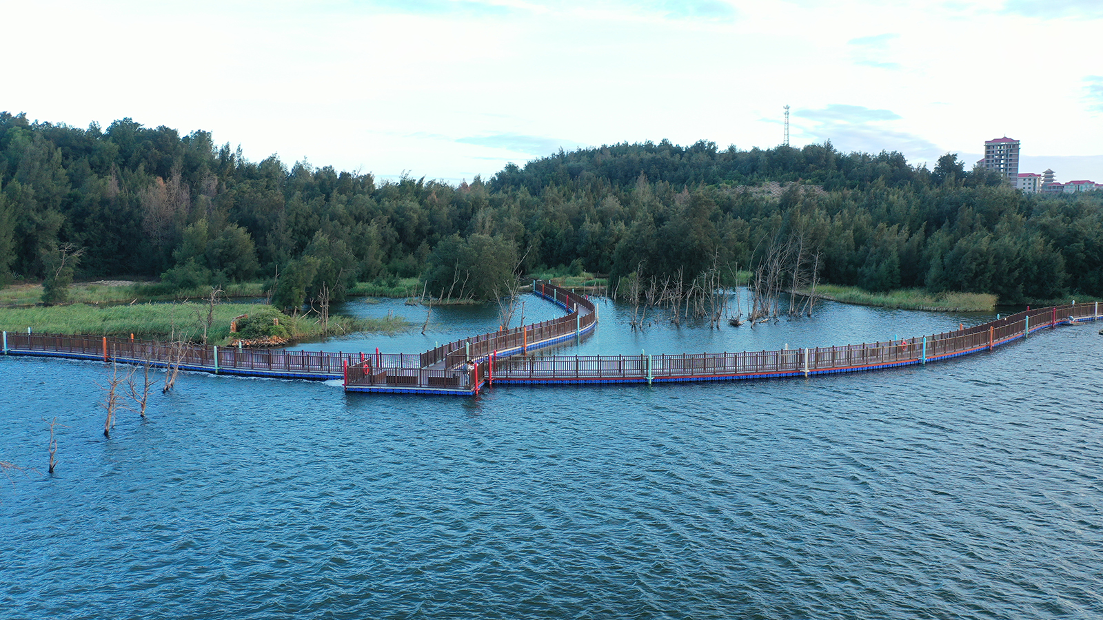
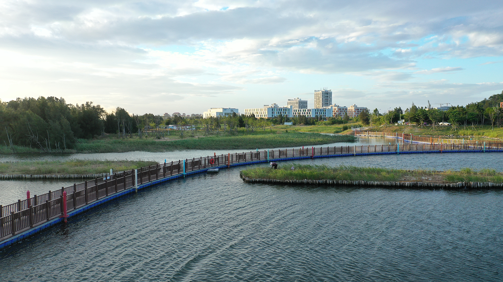
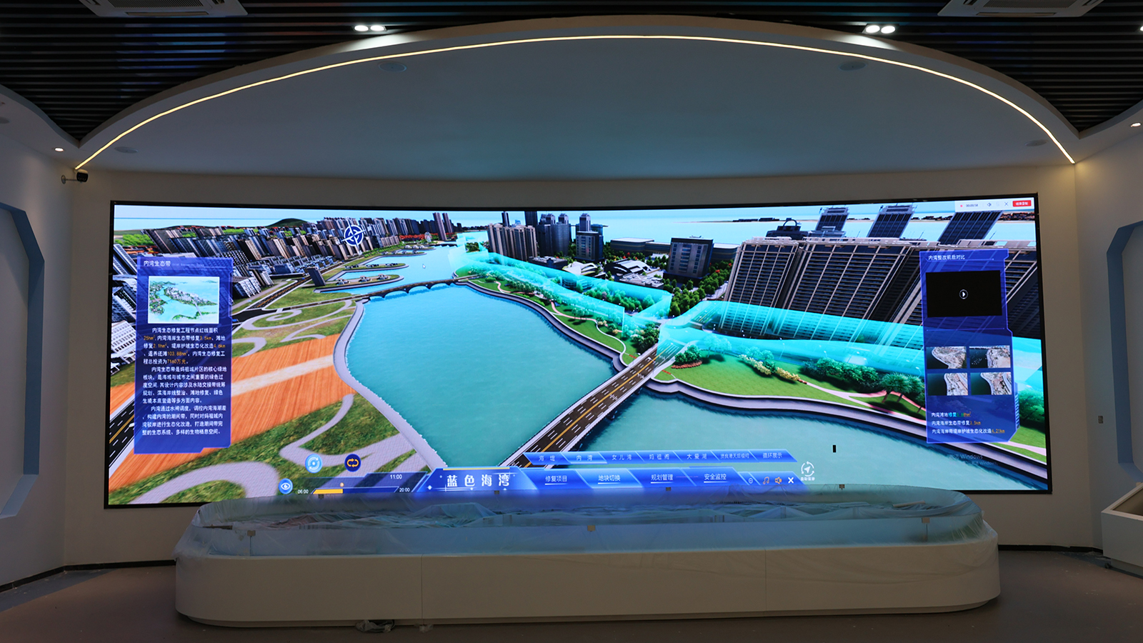
ZEHO ECO focuses on river-lake wetland systems, marine ecological restoration, mine rehabilitation, eco-friendly water conservancy infrastructure, urban waterfront recreational hubs and cultural tourism site operations, and AI-driven initiatives, delivering "technology + design + construction + operation + commerce" full lifecycle services to clients.
Learn more >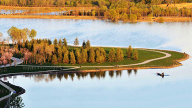

We stimulate the vitality of organizations and individuals through professional training system and career development path, and help employees and enterprises grow together.
Learn more >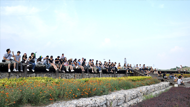
If you have any questions about our business, products, technologies and cooperation, please contact us through the following channels.
Learn more >


Ecological Restoration Design of Erhai Lake Riparian Buffer Zone Demonstration Section
Ecological Protection for Wetland Where Tang River Joins Baiyang Lake
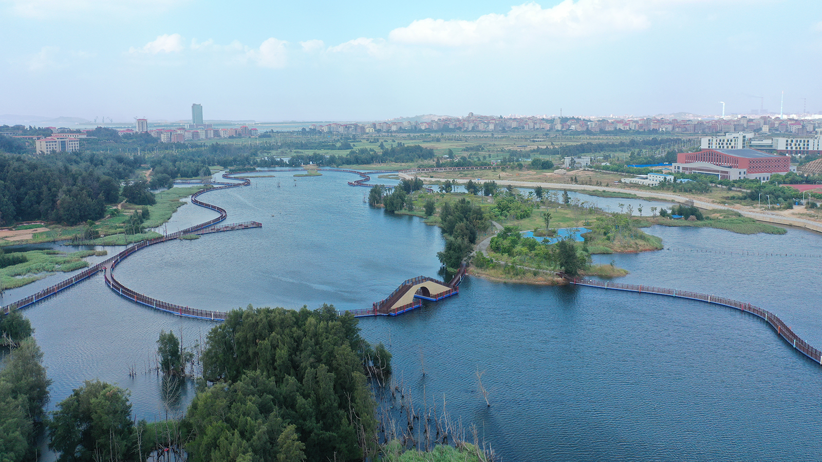
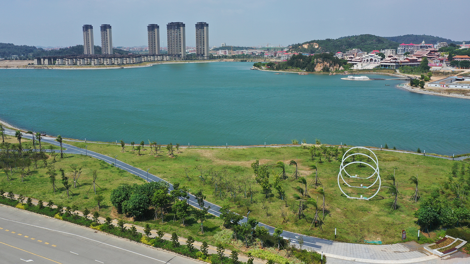
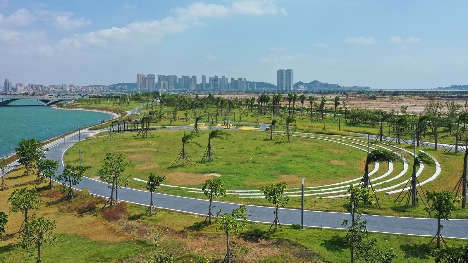
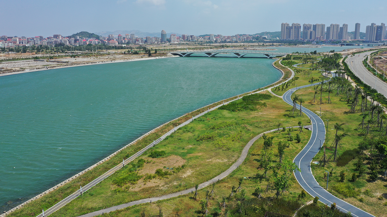
Guangzhou City Nansha District Lingshan Island’s Tip Outer River Restoration Project
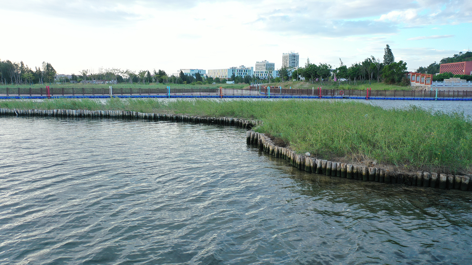
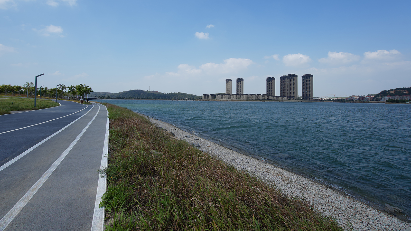
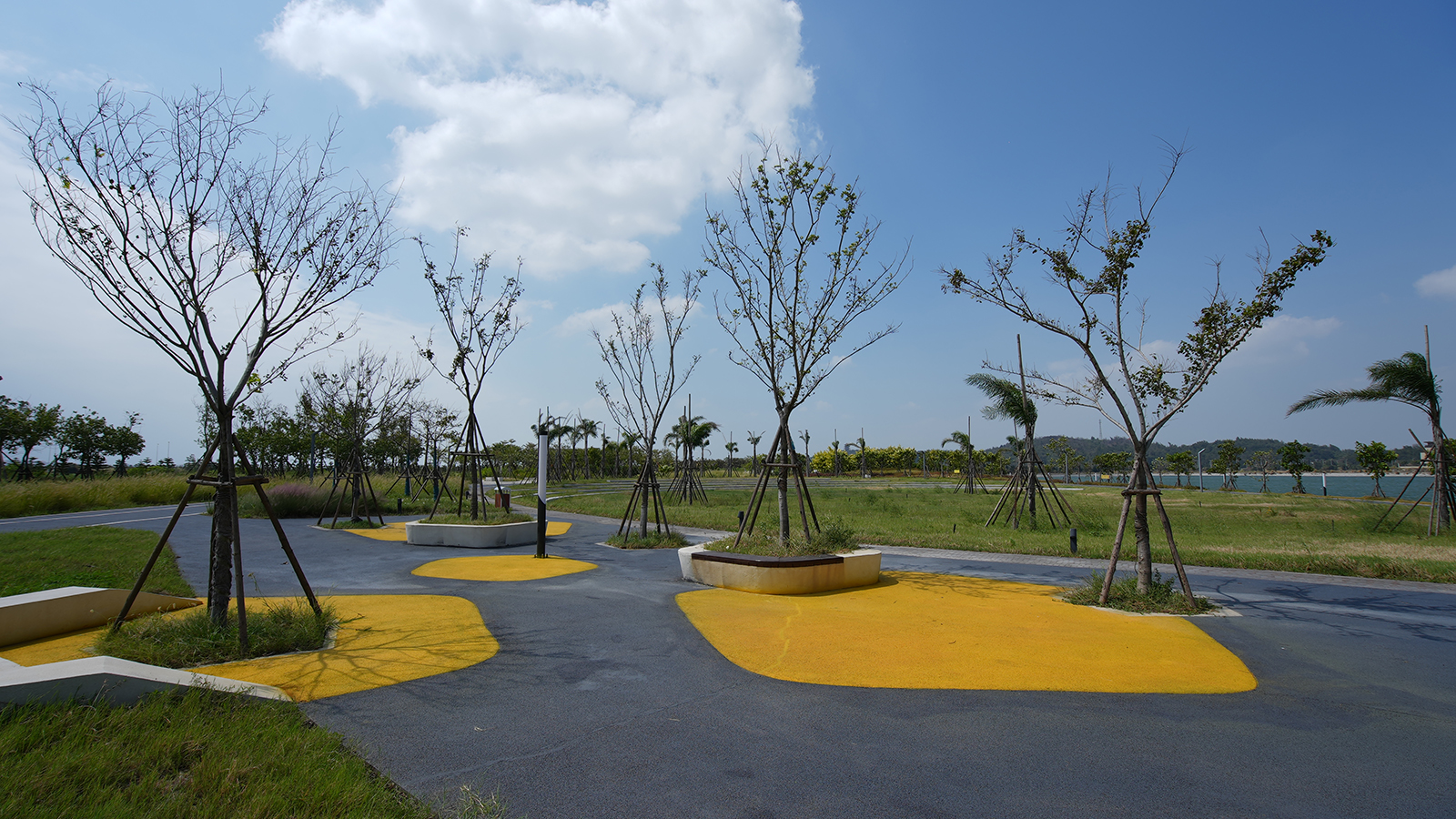
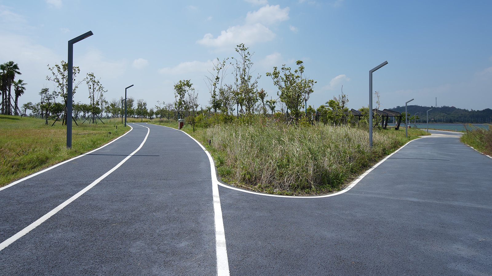
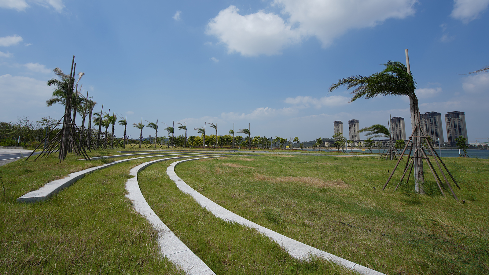
Ecological regeneration of hard seawall in Dongguan Binhai Bay New Area
The Fifth (Tangshan) Gardening Exposition of Hebei

Scan the QR code to subscribe our WeChat